2017
SJ9688 : River Goyt
taken 7 years ago, near to Marple, Stockport, England
This is 1 of 2 images, with title River Goyt in this square
River Goyt
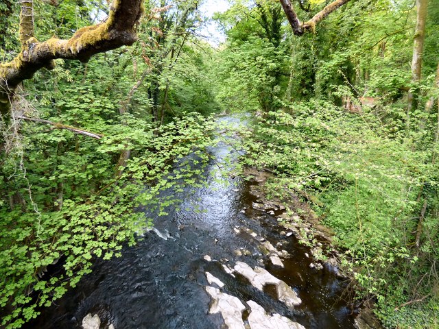
Downstream from Bottom's Bridge.
River Goyt
The Goyt rises on the moors of Axe Edge, near the Cat and Fiddle Inn. It runs from the Errwood and Fernilee reservoirs, north of Buxton to Stockport where it joins the River Tame Link to form the Mersey.
It is also fed by the River Etherow which flows from the Woodhead reservoirs and joins near Marple Bridge, the River Sett which joins at New Mills and Todd Brook which joins at Horwich End.
 Map © Crown Copyright")
TIP: Click the map for more Large scale mapping
- Grid Square
- SJ9688, 360 images (more nearby 🔍)
- Photographer
- Gerald England (more nearby)
- Date Taken
- Monday, 8 May, 2017 (more nearby)
- Submitted
- Tuesday, 10 October, 2017
- Subject Location
-
OSGB36:
 SJ 9658 8843 [10m precision]
WGS84: 53:23.5616N 2:3.1735W - Camera Location
-
OSGB36: SJ 9657 8841
- View Direction
- North-northeast (about 22 degrees)