2017
SD5699 : Barn near Craketrees
taken 7 years ago, near to Grayrigg, Cumbria, England
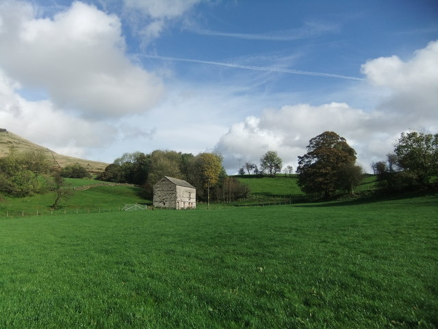
Barn near Craketrees
 Map © Crown Copyright")
TIP: Click the map for more Large scale mapping
- Grid Square
- SD5699, 9 images (more nearby 🔍)
- Photographer
- David Brown (more nearby)
- Date Taken
- Tuesday, 10 October, 2017 (more nearby)
- Submitted
- Tuesday, 10 October, 2017
- Subject Location
-
OSGB36:
 SD 5668 9926 [10m precision]
WGS84: 54:23.2183N 2:40.1140W - Camera Location
-
OSGB36: SD 5664 9923
- View Direction
- Northeast (about 45 degrees)