2017
SH7881 : Ordnance Survey Cut Mark
taken 7 years ago, near to Llandudno, Conwy, Wales
This is 1 of 3 images, with title Ordnance Survey Cut Mark in this square
Ordnance Survey Cut Mark
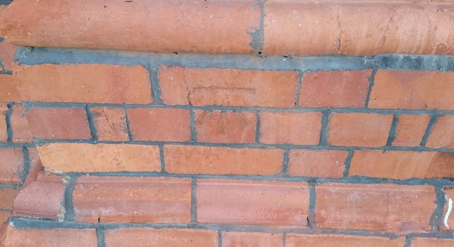
This OS cut mark can be found on the Railway Station. It marks a point 5.892m above mean sea level.
 Map © Crown Copyright")
TIP: Click the map for more Large scale mapping
- Grid Square
- SH7881, 264 images (more nearby 🔍)
- Photographer
- Adrian Dust (more nearby)
- Date Taken
- Tuesday, 10 October, 2017 (more nearby)
- Submitted
- Friday, 13 October, 2017
- Subject Location
-
OSGB36:
 SH 7840 8197 [10m precision]
WGS84: 53:19.2387N 3:49.6194W - Camera Location
-
OSGB36: SH 7840 8197
- View Direction
- Southwest (about 225 degrees)