2017
SK9106 : Rutland Water: towards Normanton church
taken 7 years ago, near to Edith Weston, Rutland, England
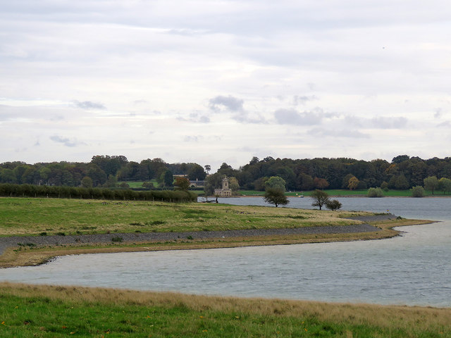
Rutland Water: towards Normanton church
A view from the path on the south side of the Hambleton Peninsula, taken on a cloudy October afternoon.
 Map © Crown Copyright")
TIP: Click the map for more Large scale mapping
- Grid Square
- SK9106, 82 images (more nearby 🔍)
- Photographer
- John Sutton (more nearby)
- Date Taken
- Friday, 13 October, 2017 (more nearby)
- Submitted
- Sunday, 15 October, 2017
- Subject Location
-
OSGB36:
 SK 919 065 [100m precision]
WGS84: 52:38.9176N 0:38.5125W - Camera Location
-
OSGB36: SK 918 065
- View Direction
- East-southeast (about 112 degrees)