2017
ST1638 : Sedgemoor : Woodland Path
taken 7 years ago, 3 km from Crowcombe, Somerset, England
This is 1 of 10 images, with title Sedgemoor : Woodland Path in this square
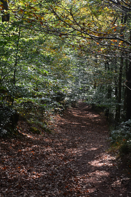
Sedgemoor : Woodland Path
A path heading down a steep and somewhat slippery slope.
 Map © Crown Copyright")
TIP: Click the map for more Large scale mapping
- Grid Square
- ST1638, 54 images (more nearby 🔍)
- Photographer
- Lewis Clarke (more nearby)
- Date Taken
- Sunday, 15 October, 2017 (more nearby)
- Submitted
- Monday, 16 October, 2017
- Subject Location
-
OSGB36:
 ST 1662 3811 [10m precision]
WGS84: 51:8.1701N 3:11.5871W - Camera Location
-
OSGB36: ST 1662 3811
- View Direction
- South-southwest (about 202 degrees)