2017
NS7389 : Road near King's Yett
taken 7 years ago, near to Shielbrae, Stirling, Scotland
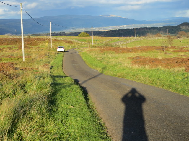
Road near King's Yett
Looking north-eastward with a late afternoon October sun on my back.
 Map © Crown Copyright")
TIP: Click the map for more Large scale mapping
- Grid Square
- NS7389, 14 images (more nearby 🔍)
- Photographer
- Peter Wood (more nearby)
- Date Taken
- Thursday, 5 October, 2017 (more nearby)
- Submitted
- Monday, 16 October, 2017
- Subject Location
-
OSGB36:
 NS 73923 89124 [1m precision]
WGS84: 56:4.6953N 4:1.6371W - Camera Location
-
OSGB36: NS 73896 89104
- View Direction
- Northeast (about 45 degrees)