2017
J1808 : Grazing land at Irish Grange
taken 7 years ago, 3 km from Carlingford, Co Louth, Ireland
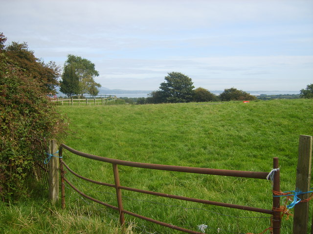
Grazing land at Irish Grange
Loading map... (JavaScript required)
- Grid Square
- J1808, 12 images (more nearby 🔍)
- Photographer
- Eric Jones (more nearby)
- Date Taken
- Friday, 22 September, 2017 (more nearby)
- Submitted
- Monday, 16 October, 2017
- Subject Location
-
Irish:
 J 189 089 [100m precision]
WGS84: 54:0.9902N 6:11.1455W - Camera Location
-
Irish: J 189 089
- View Direction
- East-northeast (about 67 degrees)