2017
NJ6202 : Learney Burn 'drain'
taken 6 years ago, near to Torphins, Aberdeenshire, Scotland
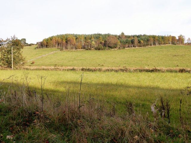
Learney Burn 'drain'
Dividing two fields at the foot of wooded Craigmyle Hill.
 Map © Crown Copyright")
TIP: Click the map for more Large scale mapping
- Grid Square
- NJ6202, 101 images (more nearby 🔍)
- Photographer
- Stanley Howe (more nearby)
- Date Taken
- Friday, 27 October, 2017 (more nearby)
- Submitted
- Friday, 27 October, 2017
- Subject Location
-
OSGB36:
 NJ 6279 0216 [10m precision]
WGS84: 57:6.5330N 2:36.9568W - Camera Location
-
OSGB36: NJ 6274 0214
- View Direction
- East-northeast (about 67 degrees)