2017
C9329 : Near Ballybogey
taken 6 years ago, 3 km from Ballybogy, Co Antrim, Northern Ireland
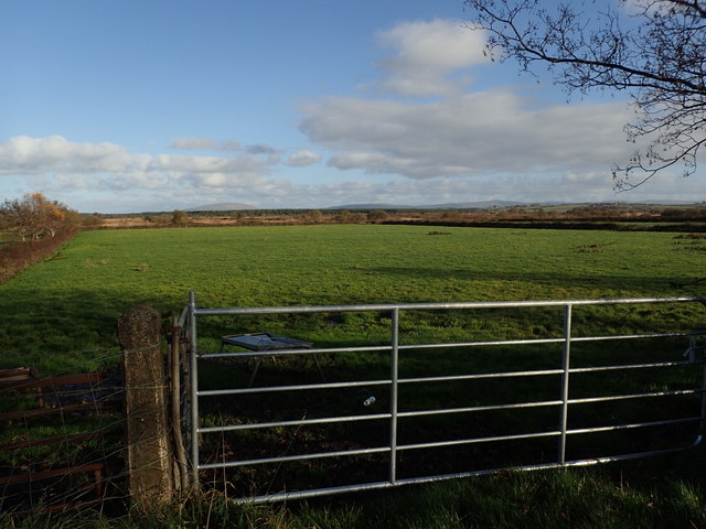
Near Ballybogey
Looking east from the B62.
Loading map... (JavaScript required)
- Grid Square
- C9329, 2 images (more nearby 🔍)
- Photographer
- Robert Ashby (more nearby)
- Date Taken
- Sunday, 29 October, 2017 (more nearby)
- Submitted
- Thursday, 2 November, 2017
- Subject Location
-
Irish:
 C 934 294 [100m precision]
WGS84: 55:6.2168N 6:32.2387W - Camera Location
-
Irish: C 932 294
- View Direction
- EAST (about 90 degrees)