2017
NZ1457 : The River Derwent at Linzford
taken 6 years ago, near to Highfield, Gateshead, England
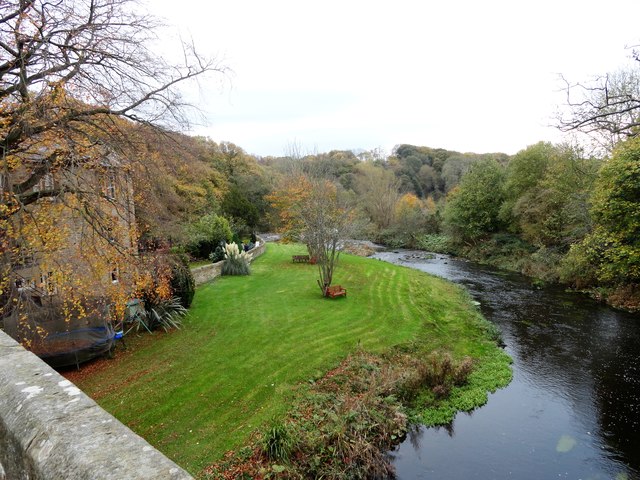
The River Derwent at Linzford
View looking upstream from the bridge. The weir which can be seen in the distance was used to supply water for the corn mill which used to be here.
 Map © Crown Copyright")
TIP: Click the map for more Large scale mapping
- Grid Square
- NZ1457, 40 images (more nearby 🔍)
- Photographer
- Robert Graham (more nearby)
- Date Taken
- Wednesday, 1 November, 2017 (more nearby)
- Submitted
- Friday, 3 November, 2017
- Subject Location
-
OSGB36:
 NZ 1495 5711 [10m precision]
WGS84: 54:54.5090N 1:46.1014W - Camera Location
-
OSGB36: NZ 1497 5718
- View Direction
- SOUTH (about 180 degrees)