2017
V9722 : Highest Point on Cape Clear Island
taken 6 years ago, 7 km SW of Harboursmouth, Sherkin, Co Cork, Ireland
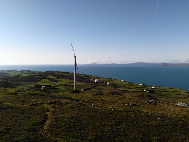
Highest Point on Cape Clear Island
Looking toward dysfunctional Wind Turbine
Loading map... (JavaScript required)
- Grid Square
- V9722, 11 images (more nearby 🔍)
- Photographer
- Barry Hunter (more nearby)
- Date Taken
- Sunday, 29 October, 2017 (more nearby)
- Submitted
- Friday, 3 November, 2017
- Subject Location
-
Irish:
 V 972 220 [100m precision]
WGS84: 51:26.5310N 9:28.7544W - Camera Location
-
Irish: V 972 220
- View Direction
- West-southwest (about 247 degrees)