2017
SK9325 : Approaching Ridd's Farm
taken 6 years ago, near to Woolsthorpe-by-Colsterworth, Lincolnshire, England
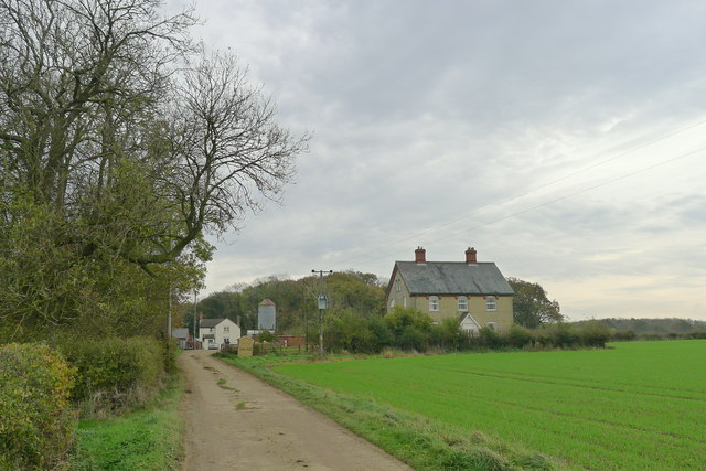
Approaching Ridd's Farm
The OS map shows the house on the right sitting next to the old route of the Roman road Ermine Street.
 Map © Crown Copyright")
TIP: Click the map for more Large scale mapping
- Grid Square
- SK9325, 20 images (more nearby 🔍)
- Photographer
- Tim Heaton (more nearby)
- Date Taken
- Wednesday, 1 November, 2017 (more nearby)
- Submitted
- Friday, 3 November, 2017
- Subject Location
-
OSGB36:
 SK 9375 2544 [10m precision]
WGS84: 52:49.1014N 0:36.6195W - Camera Location
-
OSGB36: SK 9367 2544
- View Direction
- EAST (about 90 degrees)