2017
NS2051 : Biglees Quarry (disused)
taken 6 years ago, 3 km from West Kilbride, North Ayrshire, Scotland
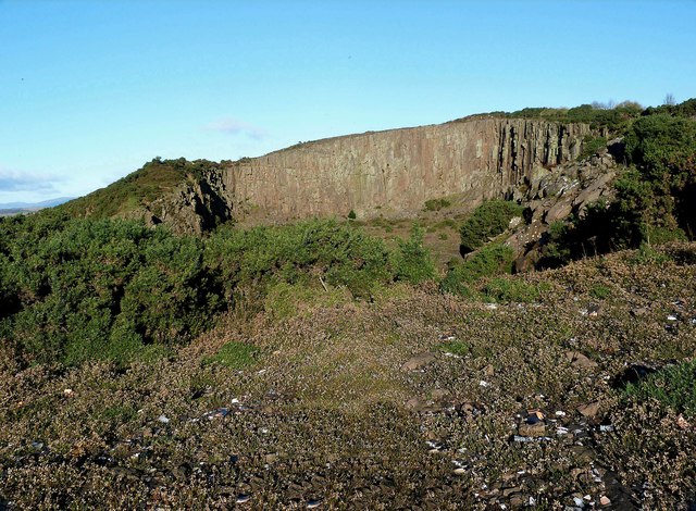
Biglees Quarry (disused)
Biglees Quarry
 Map © Crown Copyright")
TIP: Click the map for more Large scale mapping
- Grid Square
- NS2051, 48 images (more nearby 🔍)
- Photographer
- Raibeart MacAoidh (more nearby)
- Date Taken
- Sunday, 5 November, 2017 (more nearby)
- Submitted
- Sunday, 5 November, 2017
- Subject Location
-
OSGB36:
 NS 2095 5156 [10m precision]
WGS84: 55:43.4563N 4:51.1513W - Camera Location
-
OSGB36: NS 2098 5146
- View Direction
- North-northwest (about 337 degrees)