2017
NO7692 : Shelter Belt
taken 6 years ago, near to Darnford, Aberdeenshire, Scotland
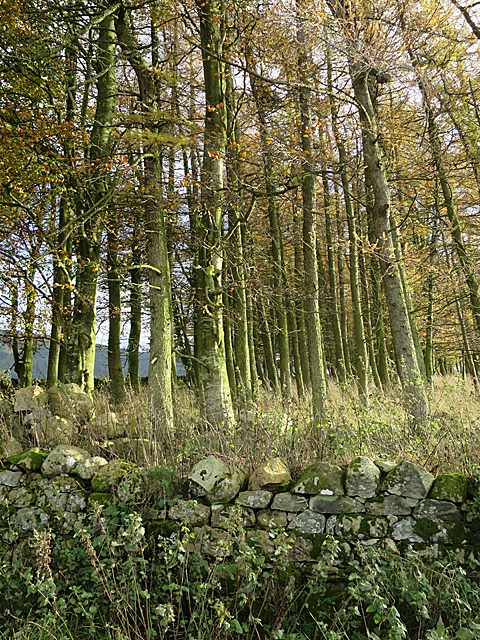
Shelter Belt
A strip between fields planted with deciduous trees.
 Map © Crown Copyright")
TIP: Click the map for more Large scale mapping
- Grid Square
- NO7692, 16 images (more nearby 🔍)
- Photographer
- Anne Burgess (more nearby)
- Date Taken
- Monday, 6 November, 2017 (more nearby)
- Submitted
- Wednesday, 8 November, 2017
- Subject Location
-
OSGB36:
 NO 7606 9295 [10m precision]
WGS84: 57:1.6221N 2:23.7596W - Camera Location
-
OSGB36: NO 7604 9297
- View Direction
- Southeast (about 135 degrees)