2017
NT2757 : Burn and grassland, Mount Lothian
taken 6 years ago, 3 km from Howgate, Midlothian, Scotland
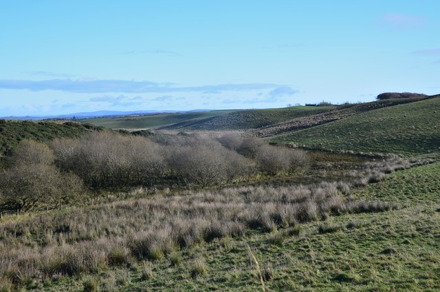
Burn and grassland, Mount Lothian
Scrubby vegetation and reedy grassland north of Mount Lothian.
 Map © Crown Copyright")
TIP: Click the map for more Large scale mapping
- Grid Square
- NT2757, 9 images (more nearby 🔍)
- Photographer
- Jim Barton (more nearby)
- Date Taken
- Saturday, 11 November, 2017 (more nearby)
- Submitted
- Sunday, 12 November, 2017
- Subject Location
-
OSGB36:
 NT 2716 5732 [10m precision]
WGS84: 55:48.2188N 3:9.8154W - Camera Location
-
OSGB36: NT 2704 5735
- View Direction
- East-southeast (about 112 degrees)