2017
NT3814 : A woodland edge at Wester Alemoor
taken 6 years ago, near to Redfordgreen, Scottish Borders, Scotland
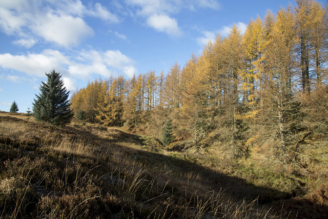
A woodland edge at Wester Alemoor
A lot of forestry has been clear-felled on Alemoor Hill but this attractive larch belt by the Wilson Burn survives for now.
 Map © Crown Copyright")
TIP: Click the map for more Large scale mapping
- Grid Square
- NT3814, 29 images (more nearby 🔍)
- Photographer
- Walter Baxter (more nearby)
- Date Taken
- Sunday, 12 November, 2017 (more nearby)
- Submitted
- Monday, 13 November, 2017
- Subject Location
-
OSGB36:
 NT 3851 1493 [10m precision]
WGS84: 55:25.4638N 2:58.3845W - Camera Location
-
OSGB36: NT 3855 1491
- View Direction
- West-northwest (about 292 degrees)