2017
NS1482 : B836, Dalinlongart
taken 7 years ago, near to Sandhaven, Argyll And Bute, Scotland
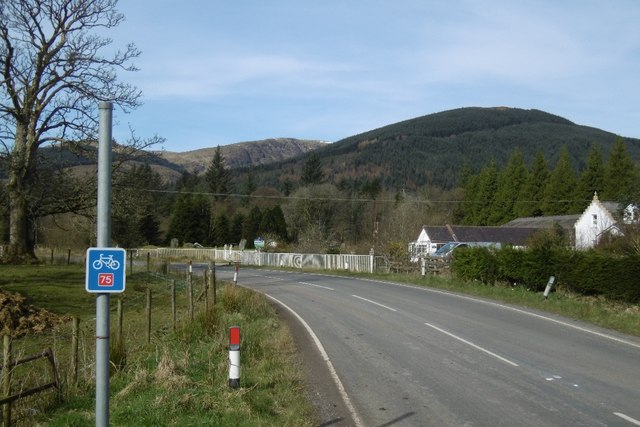
B836, Dalinlongart
The road to Clachaig and the west of Cowal.
 Map © Crown Copyright")
TIP: Click the map for more Large scale mapping
- Grid Square
- NS1482, 41 images (more nearby 🔍)
- Photographer
- Richard Webb (more nearby)
- Date Taken
- Sunday, 26 March, 2017 (more nearby)
- Submitted
- Wednesday, 15 November, 2017
- Subject Location
-
OSGB36:
 NS 1465 8207 [10m precision]
WGS84: 55:59.7399N 4:58.4126W - Camera Location
-
OSGB36: NS 1467 8207
- View Direction
- West-northwest (about 292 degrees)