2017
SY9084 : East Holme, Battle Plain
taken 6 years ago, near to Stoborough Green, Dorset, England
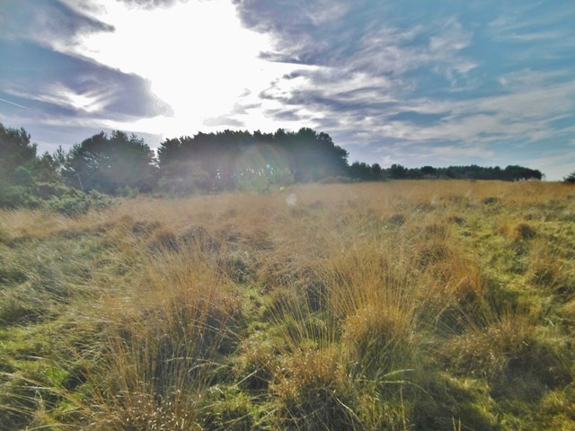
East Holme, Battle Plain
Wet grassland, where there is evidence of cattle grazing, despite the land's apparent poverty. Only a small portion of this OS square is accessible; most is on the MoD's Lulworth Ranges.
 Map © Crown Copyright")
TIP: Click the map for more Large scale mapping
- Grid Square
- SY9084, 5 images (more nearby 🔍)
- Photographer
- Mike Faherty (more nearby)
- Date Taken
- Thursday, 16 November, 2017 (more nearby)
- Submitted
- Thursday, 16 November, 2017
- Subject Location
-
OSGB36:
 SY 9099 8496 [10m precision]
WGS84: 50:39.8544N 2:7.7306W - Camera Location
-
OSGB36: SY 9099 8496
- View Direction
- Southwest (about 225 degrees)