2017
NZ0415 : The Tees from Thorngate footbridge
taken 6 years ago, near to Startforth, County Durham, England
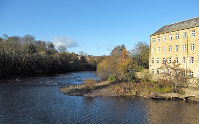
The Tees from Thorngate footbridge
Right on the edge of the grid square, with the grid line passing through the converted mill on the right. This is now smart apartments, but the last time I was here it was a rather ramshackle, but interesting book store.
 Map © Crown Copyright")
TIP: Click the map for more Large scale mapping
- Grid Square
- NZ0415, 58 images (more nearby 🔍)
- Photographer
- Gordon Hatton (more nearby)
- Date Taken
- Thursday, 16 November, 2017 (more nearby)
- Submitted
- Sunday, 19 November, 2017
- Subject Location
-
OSGB36:
 NZ 0486 1599 [10m precision]
WGS84: 54:32.3492N 1:55.5839W - Camera Location
-
OSGB36: NZ 0491 1596
- View Direction
- West-northwest (about 292 degrees)