TQ4681 : Thames Path at Thamesmead
taken 6 years ago, near to Creekmouth, Barking And Dagenham, England
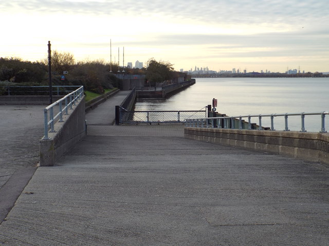
The Thames Path also forms part of National Cycle Network route 1 here.
The land alongside the path has been raised to defend against flooding.
The River Thames rises at Thames Head in Gloucestershire on the slopes of the Cotswolds and flows generally eastward to its mouth near Southend in Essex. At 215 miles long it is one of the longest rivers in Britain, and the longest entirely within England. It is one of the most important rivers in Britain. Link

This National Trail is 184 miles (294 km) long, following the River Thames from its source in the Cotswolds almost to the sea, finishing at the Thames Barrier in Greenwich.
The trail keeps to the banks of the river most of the route.
Website: Link
The National Cycle Network is a network of cycle routes. It was created by the charity Sustrans Link
Many routes aim to minimise contact with motor traffic, though 70% of them are on roads. In some cases the NCN uses pedestrian routes, disused railways, minor roads, canal towpaths, or traffic-calmed routes in towns and cities.
National Route 1 of the National Cycle Network is a long distance cycle route connecting Dover and the Shetland Islands mainly via the east coast of England and Scotland. The route is all signed and open except between London and Woodbridge (in Suffolk) and between Whitby and Staithes (in Yorkshire).
The Thames Cycle Route is part of the National Cycle Network. The Cycle Route stretches from Dartford up to Oxford along the banks of the River Thames.
This follows the majority of the Thames Path, but does divert in various sections. Especially where the Path follows a footpath only route. It also links National Cycle Route 1 (east of London) with National Cycle Route 4 (west of London).
 Map © Crown Copyright")
- Grid Square
- TQ4681, 75 images (more nearby 🔍)
- Photographer
- Malc McDonald (more nearby)
- Date Taken
- Sunday, 19 November, 2017 (more nearby)
- Submitted
- Sunday, 19 November, 2017
- Subject Location
-
OSGB36:
 TQ 4636 8105 [10m precision]
WGS84: 51:30.5658N 0:6.4581E - Camera Location
-
OSGB36: TQ 4637 8105
- View Direction
- WEST (about 270 degrees)