2017
SS3023 : Arable field near Higher Clovelly
taken 6 years ago, near to Higher Clovelly, Devon, England
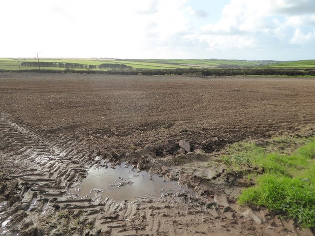
Arable field near Higher Clovelly
Arable field to the south of the B3248 near Higher Clovelly.
 Map © Crown Copyright")
TIP: Click the map for more Large scale mapping
- Grid Square
- SS3023, 10 images (more nearby 🔍)
- Photographer
- Philip Halling (more nearby)
- Date Taken
- Sunday, 5 November, 2017 (more nearby)
- Submitted
- Thursday, 23 November, 2017
- Subject Location
-
OSGB36:
 SS 3071 2344 [10m precision]
WGS84: 50:59.1244N 4:24.7966W - Camera Location
-
OSGB36: SS 3075 2349
- View Direction
- South-southwest (about 202 degrees)