2017
TQ3052 : Bridleway from Bletchingley Road
taken 6 years ago, near to Merstham, Surrey, England
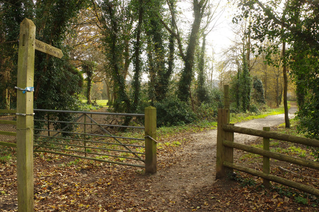
Bridleway from Bletchingley Road
The bridleway is part of a network of paths in the area to the south-east of Merstham. It will eventually take the walker or rider to Nutfield.
 Map © Crown Copyright")
TIP: Click the map for more Large scale mapping
- Grid Square
- TQ3052, 64 images (more nearby 🔍)
- Photographer
- Stephen McKay (more nearby)
- Date Taken
- Wednesday, 22 November, 2017 (more nearby)
- Submitted
- Tuesday, 28 November, 2017
- Subject Location
-
OSGB36:
 TQ 3032 5266 [10m precision]
WGS84: 51:15.4930N 0:8.0260W - Camera Location
-
OSGB36: TQ 3032 5268
- View Direction
- SOUTH (about 180 degrees)