2016
SK5467 : Longster Lane Sookholme
taken 8 years ago, near to Shirebrook, Derbyshire, England
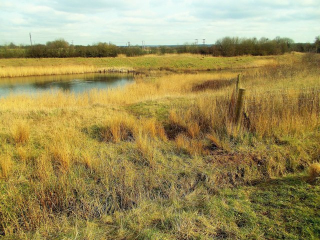
Longster Lane Sookholme
The stream flows down hill between the lane and Shirebrook Wood and turns into these long pools.
 Map © Crown Copyright")
TIP: Click the map for more Large scale mapping
- Grid Square
- SK5467, 52 images (more nearby 🔍)
- Photographer
- norman griffin (more nearby)
- Date Taken
- Monday, 29 February, 2016 (more nearby)
- Submitted
- Saturday, 2 December, 2017
- Subject Location
-
OSGB36:
 SK 5418 6719 [10m precision]
WGS84: 53:11.9422N 1:11.4247W - Camera Location
-
OSGB36: SK 5407 6721
- View Direction
- EAST (about 90 degrees)