2017
TL5758 : Track And Path
taken 6 years ago, near to Six Mile Bottom, Cambridgeshire, England
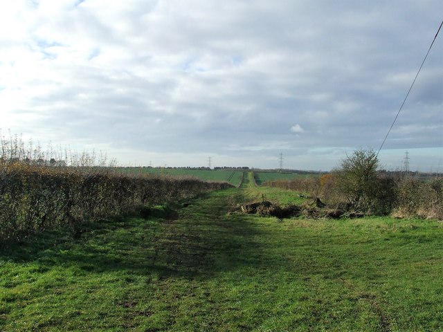
Track And Path
Track and footpath near to Six Mile Bottom, Cambridgeshire.
 Map © Crown Copyright")
TIP: Click the map for more Large scale mapping
- Grid Square
- TL5758, 40 images (more nearby 🔍)
- Photographer
- Keith Evans (more nearby)
- Date Taken
- Tuesday, 28 November, 2017 (more nearby)
- Submitted
- Thursday, 7 December, 2017
- Subject Location
-
OSGB36:
 TL 5706 5852 [10m precision]
WGS84: 52:12.1521N 0:17.8123E - Camera Location
-
OSGB36: TL 5727 5867
- View Direction
- Southwest (about 225 degrees)