2017
NO0208 : Felled area, north of Innerdouny
taken 6 years ago, 4 km W of Stronachie, Perth And Kinross, Scotland
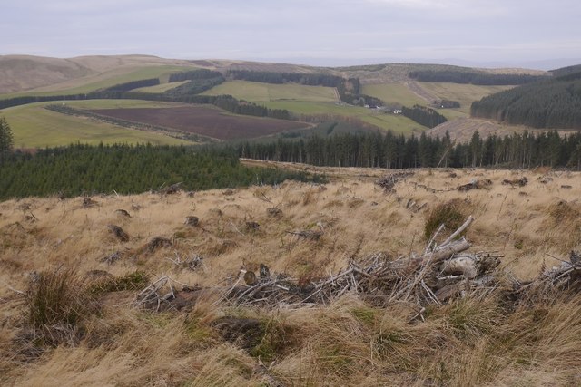
Felled area, north of Innerdouny
View now available from the forest road towards the Common of Dunning in the Ochil Hills.
 Map © Crown Copyright")
TIP: Click the map for more Large scale mapping
- Grid Square
- NO0208, 12 images (more nearby 🔍)
- Photographer
- Richard Webb (more nearby)
- Date Taken
- Sunday, 3 December, 2017 (more nearby)
- Submitted
- Friday, 8 December, 2017
- Subject Location
-
OSGB36:
 NO 0294 0804 [10m precision]
WGS84: 56:15.2949N 3:34.0919W - Camera Location
-
OSGB36: NO 0297 0802
- View Direction
- West-northwest (about 292 degrees)