2017
SX4350 : Cawsands
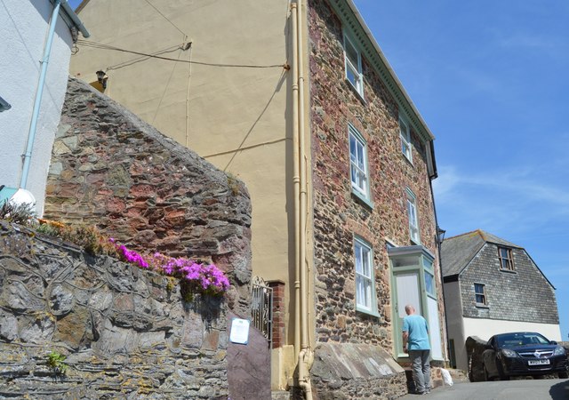
taken 7 years ago, near to Cawsand, Cornwall, Great Britain
This is 1 of 4 images, with title Cawsands in this square
Cawsands
Kingsand and Cawsand are twin coastal villages in southeast Cornwall. The two villages are effectively one, as they merge together with no obvious demarcation. However, for a while Kingsand was in Devon, while Cawsand remained in Cornwall. This old boundary can be found on the house "Devon-Corn" (see SX4350 : Devon Corn). The boundary between the two counties was redrawn along the Tamar in 1844, when Kingsand returned to Cornwall.
Kingsand-Cawsand has several pubs: In Cawsand, The Cawsand Bay Hotel and The Cross Keys remain while The Criterion and The Ship (almost opposite each other in Garrett Street) have both closed. The former has been converted into a house, while the latter is in a sorry state awaiting renovation. In Kingsand there is The Halfway House, The Devonport and The Rising Sun, while the former Boatel has now closed and become a private dwelling.
Cawsand has just one shop, "The Shop in the Square" but Kingsand has several mostly clustered around The Cleave and up along Fore Street.
In summer there is a regular passenger ferry from Cawsand Beach across Cawsand Bay, past the breakwater and Plymouth Sound to the Mayflower Steps in Plymouth. This excellent little ferry (a former lifeboat from the Canberra, I believe) can be quite an eventful and exciting crossing in choppy seas, though if the weather becomes too fearsome it doesn't run. The ferry is used both by villagers travelling to Plymouth, and by residents of Plymouth visiting this very attractive part of Cornwall - to use the beach or to walk to nearby Mount Edgcumbe.
Kingsand-Cawsand is situated on the Rame peninsula and is surrounded by varied and dramatic countryside, with cliffs, bays, sandy beaches, undulating farmland and many woods and streams as well as numerous historic relics, most particularly the post-Napoleonic forts built by Palmerston in the mid C19th to deter the French. Many of these forts and batteries are now ruinous, but several such as Cawsand and Picklecombe Forts have been converted into exclusive apartments, while the largest of all, at Tregantle is still used by the Army and has an accompanying Danger Area (when red flags are flying) which extends down to Long Sands on Whitsand Bay.
See other images of Kingsand and Cawsand
 Map © Crown Copyright")
TIP: Click the map for more Large scale mapping
- Grid Square
- SX4350, 285 images (more nearby 🔍)
- Photographer
- N Chadwick (more nearby)
- Date Taken
- Thursday, 1 June, 2017 (more nearby)
- Submitted
- Saturday, 9 December, 2017
- Subject Location
-
OSGB36:
 SX 4341 5024 [10m precision]
WGS84: 50:19.8736N 4:12.0902W - Camera Location
-
OSGB36: SX 4341 5024
- View Direction
- East-northeast (about 67 degrees)