SE2420 : Cleggford Bridge
taken 7 years ago, near to Ravensthorpe, Kirklees, England
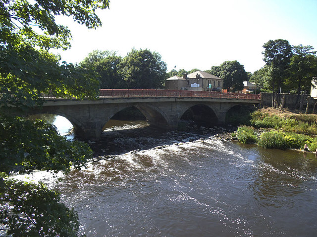
The River Calder is a river in West Yorkshire.
The Calder rises on the eastern slopes of the Pennines flows through alternating countryside, former woollen-mill villages, and large and small towns before joining the River Aire near Castleford, 45 miles later.
The river's valley is generally known as the Calder Valley. The name Calderdale usually refers to the large urban and rural borough (centred on Halifax) through which the upper river flows. The lower reaches flow through the boroughs of Kirklees (based on Huddersfield) and Wakefield. However, the river does not flow through the centres of Halifax and Huddersfield, which are on the Calder's main tributaries, the River Hebble and River Colne respectively. The only large town centres through which the Calder flows are Brighouse, Mirfield, Dewsbury and Wakefield.
 Map © Crown Copyright")
- Grid Square
- SE2420, 158 images (more nearby 🔍)
- Photographer
- Stephen Craven (more nearby)
- Date Taken
- Saturday, 17 June, 2017 (more nearby)
- Submitted
- Sunday, 17 December, 2017
- Subject Location
-
OSGB36:
 SE 2409 2030 [10m precision]
WGS84: 53:40.7168N 1:38.2069W - Camera Location
-
OSGB36: SE 2412 2031
- View Direction
- West-southwest (about 247 degrees)