2017
NZ0615 : Egglestone Abbey: Stonework
taken 7 years ago, near to Barnard Castle, County Durham, England
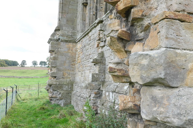
Egglestone Abbey: Stonework
The Praemonstratensian Abbey of St John the Baptist was founded in 1190s, by the de Moulton family. It was a house of the "White Monks", who as Canons undertook preaching and pastoral work in the area within the Cistecian rule of austerity.
Never a wealthy house, the foundation suffered in various wars between the Scots and the English.
Finally dissolved in 1540, the North and East of the Cloister were used as a Manorial house by Robert Strelley. The site came into the hands of John Morritt of Rokeby Hall who lived there from 1770 until a new hall was built at Rokeby. Some parts of the East range were still used to house estate workers until the late 1800s. The Morrit family passed the ruins to the state in 1925.
There is a lengthy description, and a list of the Abbots, in the Victoria County History for York. See Link
The site is a scheduled ancient monument (Link ) and a grade I listed building (Link ). The ruins are under the control of English Heritage (Link ). There is no charge for admittance.
See other images of Egglestone Abbey
Never a wealthy house, the foundation suffered in various wars between the Scots and the English.
Finally dissolved in 1540, the North and East of the Cloister were used as a Manorial house by Robert Strelley. The site came into the hands of John Morritt of Rokeby Hall who lived there from 1770 until a new hall was built at Rokeby. Some parts of the East range were still used to house estate workers until the late 1800s. The Morrit family passed the ruins to the state in 1925.
There is a lengthy description, and a list of the Abbots, in the Victoria County History for York. See Link
The site is a scheduled ancient monument (Link
See other images of Egglestone Abbey
 Map © Crown Copyright")
TIP: Click the map for more Large scale mapping
- Grid Square
- NZ0615, 174 images (more nearby 🔍)
- Photographer
- Bob Harvey (more nearby)
- Date Taken
- Monday, 11 September, 2017 (more nearby)
- Submitted
- Saturday, 13 January, 2018
- Subject Location
-
OSGB36:
 NZ 0627 1510 [10m precision]
WGS84: 54:31.8684N 1:54.2775W - Camera Location
-
OSGB36: NZ 0627 1510
- View Direction
- SOUTH (about 180 degrees)