2007
NS8171 : The Road to Cumbernauld
taken 17 years ago, near to Longriggend, North Lanarkshire, Scotland
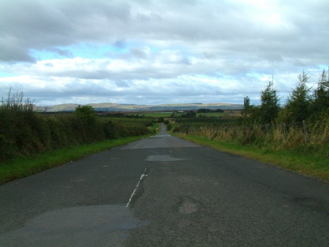
The Road to Cumbernauld
This country road is known as Fannyside Road, it takes us from Greengairs Road to Forest Road, Abronhill, Cumbernauld. Further down this road on the left is Fannyside Lochs.
 Map © Crown Copyright")
TIP: Click the map for more Large scale mapping
- Grid Square
- NS8171, 27 images (more nearby 🔍)
- Photographer
- Stevie Spiers (more nearby)
- Date Taken
- Tuesday, 25 September, 2007 (more nearby)
- Submitted
- Wednesday, 26 September, 2007
- Subject Location
-
OSGB36:
 NS 812 719 [100m precision]
WGS84: 55:55.5713N 3:54.1041W - Camera Location
-
OSGB36: NS 814 717
- View Direction
- Northwest (about 315 degrees)