2017
SX4259 : B3271, New Rd
taken 6 years ago, near to Saltash, Cornwall, England
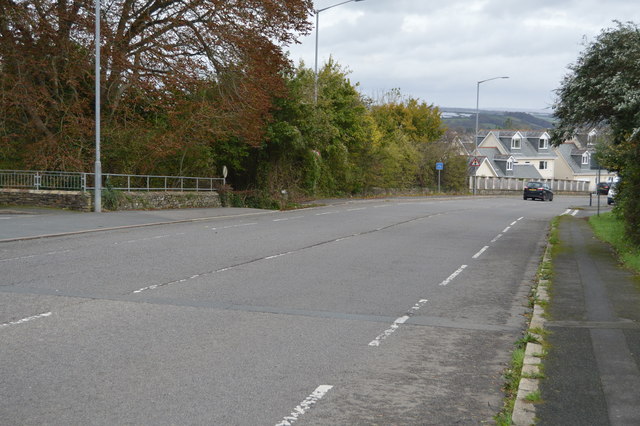
B3271, New Rd
B3271 Road
The B3271 is largely the original, pre-bypass route of the A38 (earlier the A374 and before that the A387) through the town of Saltash in Cornwall. It runs 2.4 miles from east to west through the town.
Saltash :: SX4258
Saltash (Cornish: Essa) is a town in southeast Cornwall. It lies in the south east of Cornwall, facing Plymouth over the River Tamar. It is known as "the Gateway to Cornwall". Saltash means ash tree by the salt mill. Saltash is the largest town within the East Cornwall area and is one of the largest in Cornwall. Both the Royal Albert Bridge and The Tamar Bridge have their western ends in Saltash.
Wikipedia: Link
Website: Link
 Map © Crown Copyright")
TIP: Click the map for more Large scale mapping
- Grid Square
- SX4259, 118 images (more nearby 🔍)
- Photographer
- N Chadwick (more nearby)
- Date Taken
- Sunday, 22 October, 2017 (more nearby)
- Submitted
- Monday, 12 February, 2018
- Subject Location
-
OSGB36:
 SX 4262 5932 [10m precision]
WGS84: 50:24.7568N 4:12.9837W - Camera Location
-
OSGB36: SX 4259 5931
- View Direction
- East-northeast (about 67 degrees)