2017
NN0168 : River Scaddle
taken 7 years ago, near to Aryhoulan, Highland, Scotland
This is 1 of 4 images, with title River Scaddle in this square
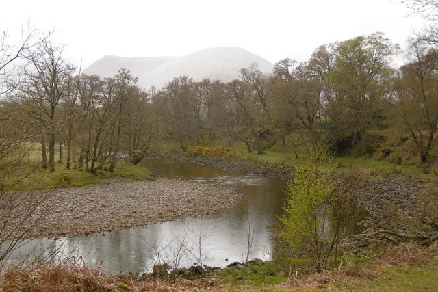
River Scaddle
The combined waters of the Scaddle and Cona River, run for a short way between the confluence and delta.
 Map © Crown Copyright")
TIP: Click the map for more Large scale mapping
- Grid Square
- NN0168, 44 images (more nearby 🔍)
- Photographer
- Richard Webb (more nearby)
- Date Taken
- Saturday, 29 April, 2017 (more nearby)
- Submitted
- Sunday, 18 February, 2018
- Subject Location
-
OSGB36:
 NN 0164 6893 [10m precision]
WGS84: 56:46.1756N 5:14.8491W - Camera Location
-
OSGB36: NN 0169 6892
- View Direction
- West-northwest (about 292 degrees)