2007
NM6525 : Kinlochspelve
taken 17 years ago, near to Kinlochspelve, Isle of Mull, Argyll And Bute, Scotland
Kinlochspelve
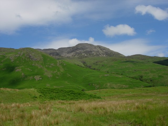
Rough grassland rising up to the exposed rock on Creach Beinn.
 Map © Crown Copyright")
TIP: Click the map for more Large scale mapping
- Grid Square
- NM6525, 35 images (more nearby 🔍)
- Photographer
- Hugh Venables (more nearby)
- Date Taken
- Thursday, 21 June, 2007 (more nearby)
- Submitted
- Saturday, 29 September, 2007
- Subject Location
-
OSGB36:
 NM 653 259 [100m precision]
WGS84: 56:22.0536N 5:48.0629W - Camera Location
-
OSGB36: NM 654 258
- View Direction
- Northwest (about 315 degrees)