2018
SX7597 : Two Moors Way from Binneford Cross
taken 6 years ago, 3 km from Yeoford, Devon, England
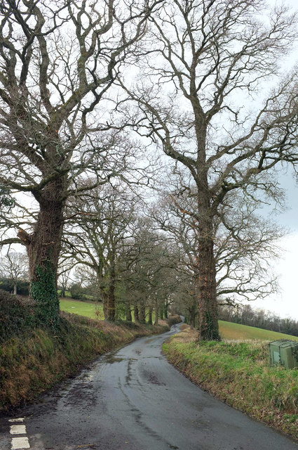
Two Moors Way from Binneford Cross
The LDP follows this ridge lane for over four kilometres to Hittisleigh. It is followed for a similar distance by a parish boundary, here between Colebrook (right) and Crediton Hamlets. View from Binneford Cross.
 Map © Crown Copyright")
TIP: Click the map for more Large scale mapping
- Grid Square
- SX7597, 17 images (more nearby 🔍)
- Photographer
- Derek Harper (more nearby)
- Date Taken
- Tuesday, 6 March, 2018 (more nearby)
- Submitted
- Wednesday, 7 March, 2018
- Subject Location
-
OSGB36:
 SX 7574 9712 [10m precision]
WGS84: 50:45.6198N 3:45.7897W - Camera Location
-
OSGB36: SX 7579 9714
- View Direction
- West-southwest (about 247 degrees)