2007
NY6494 : Gauging Station
taken 17 years ago, near to Kielder, Northumberland, England
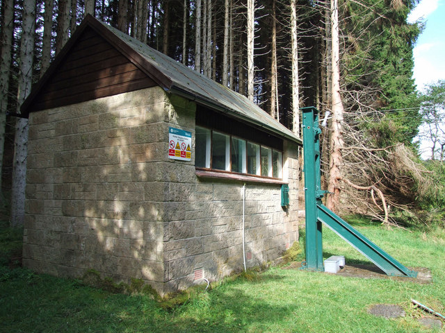
Gauging Station
Gauging station on Kielder Burn near Gibbies Knowe.
 Map © Crown Copyright")
TIP: Click the map for more Large scale mapping
- Grid Square
- NY6494, 8 images (more nearby 🔍)
- Photographer
- Peter McDermott (more nearby)
- Date Taken
- Sunday, 30 September, 2007 (more nearby)
- Submitted
- Sunday, 30 September, 2007
- Subject Location
-
OSGB36:
 NY 64425 94682 [1m precision]
WGS84: 55:14.7022N 2:33.6647W - Camera Location
-
OSGB36: NY 64430 94672
- View Direction
- North-northwest (about 337 degrees)