2017
SX9057 : South West Coast Path
taken 6 years ago, near to Churston Ferrers, Torbay, England
This is 1 of 5 images, with title South West Coast Path in this square
South West Coast Path
South West Coast Path
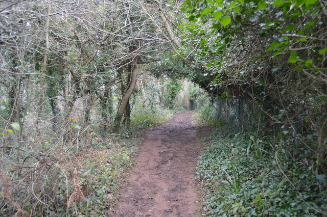
The South West Coast Path National Trail - 630 miles of superb coastal walking. From Minehead on the edge of the Exmoor National Park to the shores of Poole Harbour in Dorset. It is the longest of all Britain's National Trails.
Website: Link
The Grove (Elberry & Marridge Woods) :: SX9157
The Grove is an area between Elberry Cove in the west and Churston Cove in the east. It is thickly wooded, apart from some clear-felled areas, and the area has a number of disused quarries and lime kilns. The South West Coast path runs through it. The woods are managed by the Torbay Coast and Countryside Trust.
 Map © Crown Copyright")
TIP: Click the map for more Large scale mapping
- Grid Square
- SX9057, 96 images (more nearby 🔍)
- Photographer
- N Chadwick (more nearby)
- Date Taken
- Saturday, 30 December, 2017 (more nearby)
- Submitted
- Saturday, 7 April, 2018
- Subject Location
-
OSGB36:
 SX 9088 5706 [10m precision]
WGS84: 50:24.1952N 3:32.2092W - Camera Location
-
OSGB36: SX 9086 5705
- View Direction
- East-northeast (about 67 degrees)