2017
SX9157 : The Grove
taken 6 years ago, near to Brixham, Torbay, England
This is 1 of 3 images, with title The Grove in this square
The Grove
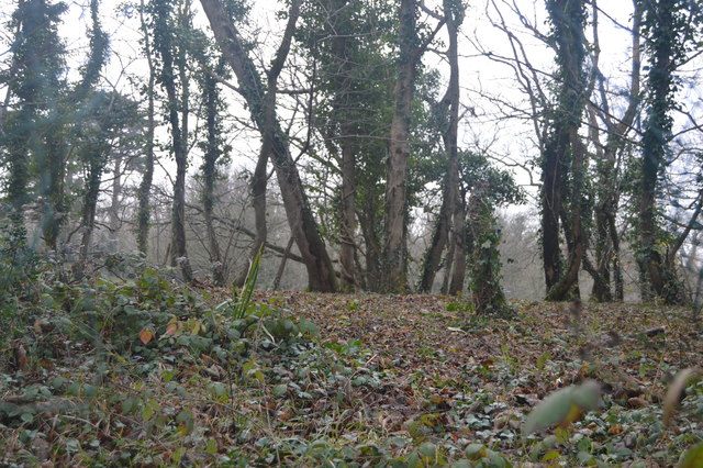
The Grove is an area between Elberry Cove in the west and Churston Cove in the east. It is thickly wooded, apart from some clear-felled areas, and the area has a number of disused quarries and lime kilns. The South West Coast path runs through it. The woods are managed by the Torbay Coast and Countryside Trust.
See other images of The Grove (Elberry & Marridge Woods)
See other images of The Grove (Elberry & Marridge Woods)
 Map © Crown Copyright")
TIP: Click the map for more Large scale mapping
- Grid Square
- SX9157, 69 images (more nearby 🔍)
- Photographer
- N Chadwick (more nearby)
- Date Taken
- Saturday, 30 December, 2017 (more nearby)
- Submitted
- Saturday, 7 April, 2018
- Subject Location
-
OSGB36:
 SX 9148 5711 [10m precision]
WGS84: 50:24.2288N 3:31.7037W - Camera Location
-
OSGB36: SX 9148 5709
- View Direction
- North-northeast (about 22 degrees)