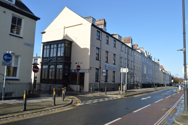
SX4654 : Durnford St
taken 6 years ago, near to Cremyll, Cornwall, England
Listed buildings and structures are officially designated as being of special architectural, historical or cultural significance. There are over half a million listed structures in the United Kingdom, covered by around 375,000 listings.
Listed status is more commonly associated with buildings or groups of buildings, however it can cover many other structures, including bridges, headstones, steps, ponds, monuments, walls, phone boxes, wrecks, parks, and heritage sites, and in more recent times a road crossing (Abbey Road) and graffiti art (Banksy 'Spy-booth') have been included.
In England and Wales there are three main listing designations;
Grade I (2.5%) - exceptional interest, sometimes considered to be internationally important.
Grade II* (5.5%) - particularly important buildings of more than special interest.
Grade II (92%) - nationally important and of special interest.
There are also locally listed structures (at the discretion of local authorities) using A, B and C designations.
In Scotland three classifications are also used but the criteria are different. There are around 47,500 Listed buildings.
Category A (8%)- generally equivalent to Grade I and II* in England and Wales
Category B (51%)- this appears generally to cover the ground of Grade II, recognising national importance.
Category C (41%)- buildings of local importance, probably with some overlap with English Grade II.
In Northern Ireland the criteria are similar to Scotland, but the classifications are:
Grade A (2.3%)
Grade B+ (4.7%)
Grade B (93%)
Read more at Wikipedia Link
During the 17th, 18th and 19th centuries the areas of Emma Place and Caroline Place were home to many of the West Country's top-ranking admirals, doctors and clergy. Those streets together with Millbay Road used to form Plymouth's red light district. Union Street, originally built across marshland, was for almost a century the centre of the city's night life with about a hundred pubs, a music hall and many other attractions. Much of it was destroyed by bombing in World War II. After the war the area between Union Street and the dock was used by small factories, storage, car dealers and repairers. Since 2002 many of those buildings and yards have been cleared and are being replaced by high-density residential buildings.
Significant buildings include the Royal William Victualling Yard, the Royal Marine Barracks, Stonehouse and the Royal Naval Hospital, Stonehouse.
 Map © Crown Copyright")
- Grid Square
- SX4654, 543 images (more nearby 🔍)
- Photographer
- N Chadwick (more nearby)
- Date Taken
- Monday, 1 January, 2018 (more nearby)
- Submitted
- Wednesday, 18 April, 2018
- Subject Location
-
OSGB36:
 SX 4632 5403 [10m precision]
WGS84: 50:21.9632N 4:9.7317W - Camera Location
-
OSGB36: SX 4635 5398
- View Direction
- North-northwest (about 337 degrees)