2018
NT4737 : Cyclepath at the A72 Torwoodlee
taken 6 years ago, near to Buckholm, Scottish Borders, Scotland
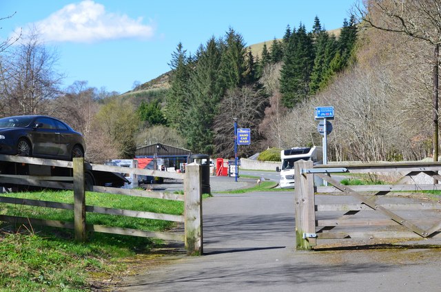
Cyclepath at the A72 Torwoodlee
The path here joins the A72 from Galashiels to Peebles. Torwoodlee estate is to the right.
 Map © Crown Copyright")
TIP: Click the map for more Large scale mapping
- Grid Square
- NT4737, 91 images (more nearby 🔍)
- Photographer
- Jim Barton (more nearby)
- Date Taken
- Friday, 20 April, 2018 (more nearby)
- Submitted
- Monday, 23 April, 2018
- Subject Location
-
OSGB36:
 NT 4705 3772 [10m precision]
WGS84: 55:37.8090N 2:50.5518W - Camera Location
-
OSGB36: NT 4711 3773
- View Direction
- West-southwest (about 247 degrees)