2007
TL6098 : Steel's Drove across Great West Fen
taken 17 years ago, near to Ten Mile Bank, Norfolk, England
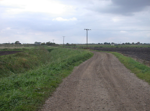
Steel's Drove across Great West Fen
A track which leads from Hilgay, interrupted by the A10, to the banks of the Great Ouse.
 Map © Crown Copyright")
TIP: Click the map for more Large scale mapping
- Grid Square
- TL6098, 17 images (more nearby 🔍)
- Photographer
- Keith Edkins (more nearby)
- Date Taken
- Friday, 5 October, 2007 (more nearby)
- Submitted
- Friday, 5 October, 2007
- Subject Location
-
OSGB36:
 TL 601 981 [100m precision]
WGS84: 52:33.4515N 0:21.6842E - Camera Location
-
OSGB36: TL 604 981
- View Direction
- WEST (about 270 degrees)