2018
SO9071 : Bridge and farm track
taken 6 years ago, near to Rushock, Worcestershire, England
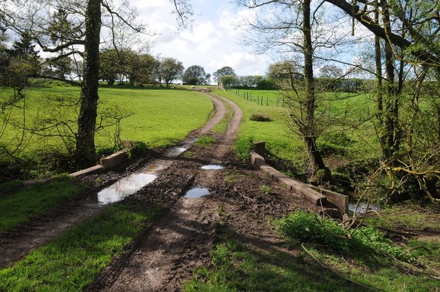
Bridge and farm track
A farm track and footpath cross this bridge over the stream to the east of Durrance Farm.
 Map © Crown Copyright")
TIP: Click the map for more Large scale mapping
- Grid Square
- SO9071, 11 images (more nearby 🔍)
- Photographer
- Philip Halling (more nearby)
- Date Taken
- Thursday, 26 April, 2018 (more nearby)
- Submitted
- Wednesday, 2 May, 2018
- Subject Location
-
OSGB36:
 SO 9085 7129 [10m precision]
WGS84: 52:20.3767N 2:8.1433W - Camera Location
-
OSGB36: SO 9090 7128
- View Direction
- WEST (about 270 degrees)