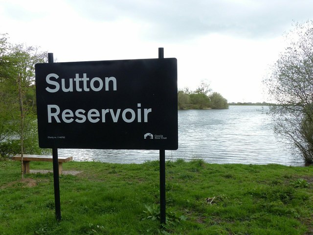
SJ9270 : Sutton Reservoir sign
taken 6 years ago, near to Oakgrove, Cheshire East, England
One of the last narrow canals to be built the canal was approved by Act of Parliament in April 1826. Thomas Telford surveyed the canal and construction was engineered by William Crosley. The completed canal was opened on 9th November 1831 at a cost of £320,000.00. The canal was bought out by the Manchester, Sheffield & Lincoln Railway in 1847. With nationalisation in 1947 it passed to the Docks & Inland Waterways Board with commercial carrying finishing only in the 1960's shortly before British Waterways was formed. The canal runs from Marple Junction with the Peak Forest Canal in the north 26¼ miles to the stop lock at Hall Green near Kidsgrove. The canal is noted for its six fine change or snake bridges where the tow-path changes sides of the canal. These bridges were designed to allow the horse to move over without having to untie it from the boat. Thanks to Telford's design for commercial traffic the Macclesfield Canal has a very shallow and tapered bottom. The deep channel is just wide enough for two boats to pass in the centre making mooring other than at wharves 'challenging'.
 Map © Crown Copyright")
- Grid Square
- SJ9270, 33 images (more nearby 🔍)
- Photographer
- Alan Murray-Rust (more nearby)
- Date Taken
- Thursday, 26 April, 2018 (more nearby)
- Submitted
- Wednesday, 2 May, 2018
- Subject Location
-
OSGB36:
 SJ 9215 7016 [10m precision]
WGS84: 53:13.7053N 2:7.1429W - Camera Location
-
OSGB36: SJ 9216 7016
- View Direction
- West-southwest (about 247 degrees)