2018
TQ2067 : London Loop by the Hogmill River
taken 6 years ago, near to New Malden, Kingston Upon Thames, England
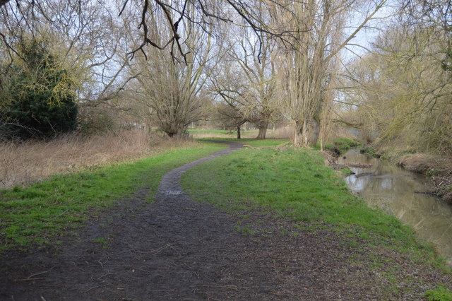
London Loop by the Hogmill River
Hogsmill River
The Hogsmill River in Surrey, is one of the tributaries of the River Thames. It rises in Ewell and flows into the Thames at Kingston upon Thames on the reach above Kingston road bridge. The river is 6 miles in length and has a catchment area of 73 km². The river flows through low-lying land, most of it sports grounds and green space, with the exception of Kingston town centre.
Wikipedia: Link
London Outer Orbital Path (LOOP)
Starting at the Thames at Erith and finishing on the opposite north bank at Coldharbour, the Loop (London Outer Orbital Path) is 150 miles long, passing through numerous woods, commons and parks and on waterside paths alongside the Grand Union Canal and London rivers such as the Colne, Crane, Cray, Darent and Ingrebourne.
 Map © Crown Copyright")
TIP: Click the map for more Large scale mapping
- Grid Square
- TQ2067, 60 images (more nearby 🔍)
- Photographer
- N Chadwick (more nearby)
- Date Taken
- Sunday, 4 February, 2018 (more nearby)
- Submitted
- Monday, 7 May, 2018
- Subject Location
-
OSGB36:
 TQ 2004 6775 [10m precision]
WGS84: 51:23.7657N 0:16.5562W - Camera Location
-
OSGB36: TQ 2005 6775
- View Direction
- North-northwest (about 337 degrees)