2018
NZ1211 : Footpath to Hutton Magna
taken 6 years ago, near to Lane Head, County Durham, England
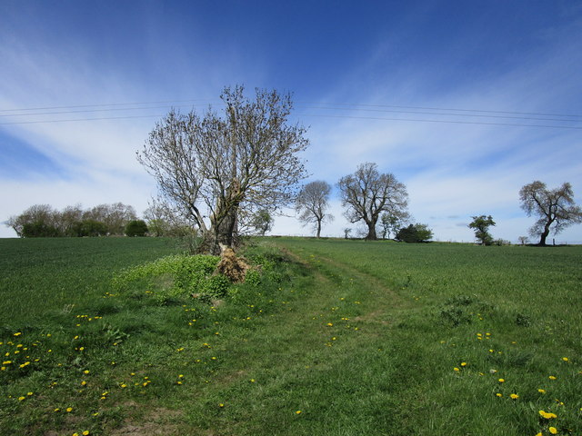
Footpath to Hutton Magna
The disused Wardenhill Quarry in the distance.
 Map © Crown Copyright")
TIP: Click the map for more Large scale mapping
- Grid Square
- NZ1211, 12 images (more nearby 🔍)
- Photographer
- Jonathan Thacker (more nearby)
- Date Taken
- Friday, 4 May, 2018 (more nearby)
- Submitted
- Tuesday, 8 May, 2018
- Subject Location
-
OSGB36:
 NZ 1281 1175 [10m precision]
WGS84: 54:30.0548N 1:48.2226W - Camera Location
-
OSGB36: NZ 1289 1164
- View Direction
- Northwest (about 315 degrees)