2018
SJ9102 : The end of Lymer Road, Oxley
taken 6 years ago, near to Bushbury, Wolverhampton, England
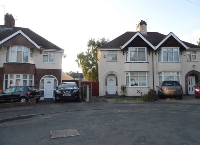
The end of Lymer Road, Oxley
 Map © Crown Copyright")
TIP: Click the map for more Large scale mapping
- Grid Square
- SJ9102, 119 images (more nearby 🔍)
- Photographer
- David Howard (more nearby)
- Date Taken
- Sunday, 3 June, 2018 (more nearby)
- Submitted
- Monday, 4 June, 2018
- Subject Location
-
OSGB36:
 SJ 9140 0215 [10m precision]
WGS84: 52:37.0230N 2:7.7074W - Camera Location
-
OSGB36: SJ 9138 0213
- View Direction
- East-northeast (about 67 degrees)