2018
TQ3585 : Lower Clapton Rd
taken 6 years ago, near to Hackney, England
This is 1 of 5 images, with title Lower Clapton Rd in this square
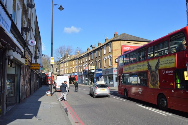
Lower Clapton Rd
The A107 runs 5 miles through East London from Whitechapel [image no longer available] to Manor House TQ3287 : A503, A107 junction.
Link
See other images of A107 Road
Link
See other images of A107 Road
 Map © Crown Copyright")
TIP: Click the map for more Large scale mapping
- Grid Square
- TQ3585, 195 images (more nearby 🔍)
- Photographer
- N Chadwick (more nearby)
- Date Taken
- Saturday, 17 February, 2018 (more nearby)
- Submitted
- Wednesday, 6 June, 2018
- Subject Location
-
OSGB36:
 TQ 3516 8544 [10m precision]
WGS84: 51:33.1000N 0:3.1181W - Camera Location
-
OSGB36: TQ 3517 8543
- View Direction
- North-northwest (about 337 degrees)