2018
TL1951 : Path to Everton
taken 6 years ago, near to Everton, Central Bedfordshire, England
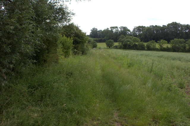
Path to Everton
Somewhat overgrown at this point.
 Map © Crown Copyright")
TIP: Click the map for more Large scale mapping
- Grid Square
- TL1951, 17 images (more nearby 🔍)
- Photographer
- Robert Eva (more nearby)
- Date Taken
- Friday, 8 June, 2018 (more nearby)
- Submitted
- Saturday, 9 June, 2018
- Subject Location
-
OSGB36:
 TL 1940 5117 [10m precision]
WGS84: 52:8.7553N 0:15.3887W - Camera Location
-
OSGB36: TL 1933 5123
- View Direction
- Southeast (about 135 degrees)