2018
TQ3586 : River Lea
taken 6 years ago, near to Stoke Newington, Hackney, England
This is 1 of 5 images, with title River Lea in this square
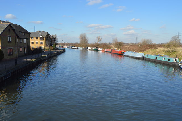
River Lea
River Lea
The River Lea (or Lee) originates at Marsh Farm Leagrave, Luton in the Chiltern Hills and flows generally southeast, east, and then south to London where it meets the River Thames. The river is 42 miles long.
Wikipedia: Link
Lea Navigation (Lee Navigation)
The Lee Navigation is a canalised river incorporating the River Lea (River Lee). It runs from Hertford Castle Weir to the River Thames at Bow Creek; its first lock is Hertford Lock and its last Bow Locks.
See Wikipedia article: Link
 Map © Crown Copyright")
TIP: Click the map for more Large scale mapping
- Grid Square
- TQ3586, 168 images (more nearby 🔍)
- Photographer
- N Chadwick (more nearby)
- Date Taken
- Saturday, 17 February, 2018 (more nearby)
- Submitted
- Sunday, 10 June, 2018
- Subject Location
-
OSGB36:
 TQ 3544 8694 [10m precision]
WGS84: 51:33.9047N 0:2.8413W - Camera Location
-
OSGB36: TQ 3548 8685
- View Direction
- North-northwest (about 337 degrees)