2018
NH4558 : Path by the shore of Loch na Crann
taken 6 years ago, 3 km from Tarvie, Highland, Scotland
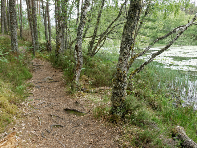
Path by the shore of Loch na Crann
The southern shore of Loch na Crann has a boat house, becoming derelict, that can be accessed by a path alongside the loch that then curves around to an established track.
 Map © Crown Copyright")
TIP: Click the map for more Large scale mapping
- Grid Square
- NH4558, 28 images (more nearby 🔍)
- Photographer
- Julian Paren (more nearby)
- Date Taken
- Tuesday, 12 June, 2018 (more nearby)
- Submitted
- Thursday, 14 June, 2018
- Subject Location
-
OSGB36:
 NH 4544 5823 [10m precision]
WGS84: 57:35.2540N 4:35.2272W - Camera Location
-
OSGB36: NH 45457 58241
- View Direction
- West-southwest (about 247 degrees)