2018
TQ0977 : Cranford Countryside Park
taken 6 years ago, near to Cranford, Hounslow, England
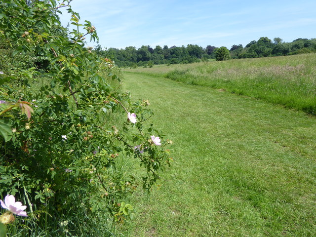
Cranford Countryside Park
Cranford House was the seat of the Berkeleys up until the end of the 19th century. The early Georgian mansion was demolished in 1945 at the end of the Second World War which was about the time that the park came into public ownership. The 18th century stable and barn block survive, as do the cellars of the old house, and the old parish church of Cranford. St Dunstan's Church dates from the 15th and 17th centuries and is approached through a lych gate by the stable block. There is also a ha-ha, a large walled garden, the site of an ice house, and some ancient woodland.
 Map © Crown Copyright")
TIP: Click the map for more Large scale mapping
- Grid Square
- TQ0977, 32 images (more nearby 🔍)
- Photographer
- Marathon (more nearby)
- Date Taken
- Wednesday, 6 June, 2018 (more nearby)
- Submitted
- Monday, 18 June, 2018
- Subject Location
-
OSGB36:
 TQ 0988 7776 [10m precision]
WGS84: 51:29.2874N 0:25.1286W - Camera Location
-
OSGB36: TQ 0990 7767
- View Direction
- NORTH (about 0 degrees)