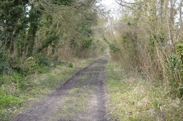
TR0934 : Saxon Shore Way
taken 6 years ago, near to Court-at-Street, Kent, England
The Royal Military Canal Path (27 miles) mainly follows a canal-side path, which fringes the northern edge of Romney Marsh and which was built in the early 19th century as a defence against a possible invasion by Napoleon. The Canal is a Scheduled Ancient Monument and a SSSI. In addition to its historical and archaeological interest it is a valuable wetland habitat for a variety of species of flora and fauna. Links are made with the Saxon Shore Way at Appledore and West Hythe providing options for a circular route between these two places.
The Saxon Shore Way starts at Gravesend, Kent and traces the coast as it was in the Roman times as far as Hastings in East Sussex, 163 miles (262 km) in total. The Saxon Shore Way was originally opened in 1980, but has since been re-established, and in parts re-routed and extended. It follows the coastline of the South East as it was about 1500 years ago, long before the North Kent Marshes or the Romney Marsh came into existence. The Way takes its name, The Saxon Shore, from a line of fortifications built along the coastline as it was in the 3rd Century AD.
 Map © Crown Copyright")
- Grid Square
- TR0934, 25 images (more nearby 🔍)
- Photographer
- N Chadwick (more nearby)
- Date Taken
- Friday, 6 April, 2018 (more nearby)
- Submitted
- Thursday, 21 June, 2018
- Subject Location
-
OSGB36:
 TR 0966 3439 [10m precision]
WGS84: 51:4.2319N 0:59.4758E - Camera Location
-
OSGB36: TR 0968 3439
- View Direction
- West-northwest (about 292 degrees)